When it comes to property risk assessment, location is everything. Traditional risk models often rely on postcode-level data to gauge the risk tied to a property. But this approach can sometimes be too broad, overlooking the real variations within a single postcode area.
With advances in data analytics and geospatial technology, it's now possible to get much more granular — and that lets insurers and lenders identify high-risk zones with far greater accuracy. Chimnie uses this improved granularity to provide detailed risk assessments that go well beyond standard models, offering deeper insights into property-level risks.
Why Postcode-Level Data Isn't Always Enough
Postcodes have long been a foundation of property risk assessment. They're a convenient geographic marker that covers factors like:
Crime rates
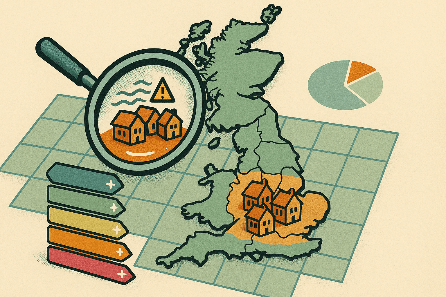
Flood risks
Market trends within a defined area
For insurers and lenders, postcode-level data has traditionally been a quick reference for assessing the risk tied to a property. But not all properties within a single postcode face the same level of risk. A property on a hill within a postcode might be far less susceptible to flooding than one in a low-lying area. Similarly, crime rates can vary significantly across different streets within the same postcode.
So while postcode-level data is essential, it becomes much more effective when combined with more granular, property-specific insights.
Chimnie's Approach: Going Beyond Postcode-Level Risk Modelling
We specialise in augmenting traditional postcode-level analysis with detailed, property-specific data. By combining postcode-level insights with granular property data, we help insurers and lenders make more nuanced assessments of risk.
We break down postcodes into smaller units, examining factors like:
Elevation
Proximity to risk sources (e.g., flood zones)
Neighbouring risks
This micro-analysis reveals data and risk variations within the postcode that might otherwise go unnoticed.
Case Study: Differentiating Risk Within a High-Risk Postcode
Imagine a coastal postcode broadly classified as high-risk because of its proximity to the sea and historical flooding events. Traditional risk models might categorise all properties within this postcode as high-risk, resulting in uniformly high premiums for all residents. But this blanket approach misses the nuances within the area.
Using Chimnie's property-level analysis, the risk assessment reveals that not all properties are equally vulnerable. Some are on elevated ground, while others are in low-lying areas — even if they share the same postcode.
With this granular insight, insurers can differentiate their policies, offering lower premiums to properties with a lower risk profile despite their location within a high-risk postcode. Lenders, too, can use this information to make more informed decisions about mortgage lending, extending better terms to properties with reduced risks.
The Impact on Underwriting and Pricing Strategies
Going beyond postcode-level analysis offers several clear benefits for insurers and lenders:
Accurate Pricing: By identifying risk variations within a postcode, insurers can price policies more accurately, avoiding the pitfalls of overpricing or underpricing based on generalised data.
Risk Mitigation: Lenders can use detailed insights to manage risk in their loan portfolios. For example, by recognising properties in low-risk zones within a generally high-risk postcode, they can extend loans with greater confidence.
Improved Customer Satisfaction: Providing fair and accurate premiums based on detailed risk assessments builds customer trust. Policyholders are more likely to feel they're getting value for money when their premiums reflect their property's true risk profile.
Chimnie's Data-Driven Edge in the UK Market
Chimnie's approach to property-level risk analysis sets it apart in the UK property data market. By combining macro and micro-level data, we offer insurers and lenders a full view of risk that goes beyond traditional models.
Our platform's dynamic nature ensures that risk assessments evolve with changing conditions, whether environmental, market-driven, or regulatory. This data-driven edge doesn't just improve underwriting and pricing strategies — it also equips insurers and lenders to navigate the complexities of the UK property market with greater precision.
In an industry where accurate risk assessment is vital, our insights provide the depth and clarity needed to make informed, profitable decisions, well beyond the postcode level.

-1.png&w=3840&q=75)